Superior Aerial Solutions
By helicopter or by drone, we’ll find it fast so you can fix it fast.
By helicopter or by drone, we’ll find it fast so you can fix it fast.

Airborne Leak Detection
Detection of hydrocarbon leaks using LiDAR
LaSen is the industry leader in airborne methane leak detection, our system is 98% accurate in detecting leaks from 300-500 feet above the ground. Our flight altitude and the speed of the onboard laser allow our helicopters to safely fly at speeds up to 65mph, allowing for 15 times the range of vehicle mounted systems.

Right of Way Inspection
High resolution video of your ROW for visual inspection
All inspections include a high resolution video of the entire flight, allowing you to also inspect your ROW for compliance.

Transmission Inspection
Airborne video of your transmission lines
Fault Detection and Maintenance Audit
Aerial patrolling of Extra High Voltage, or EHV (132 kV AC/ 220 kV AC/ 400 kV AC/ 765 kV AC/ ± 500 kV HVDC/+/- 800 kV HVDC), transmission lines using gyro stabilized gimbal-mounted thermovision camera, corona camera, high definition video camera, still photography camera and sensors for measurement of clearances along with Global Positioning System (GPS) receiver, monitor, on board recorder etc. installed on Helicopter.
‣ 20,000 kms
‣ Completed till date 12000 kms
‣ Mechanical Faults
‣ Thermal Faults
‣ Excessive Corona Discharge
‣ ROW
‣ LiDAR data acquisition and processing

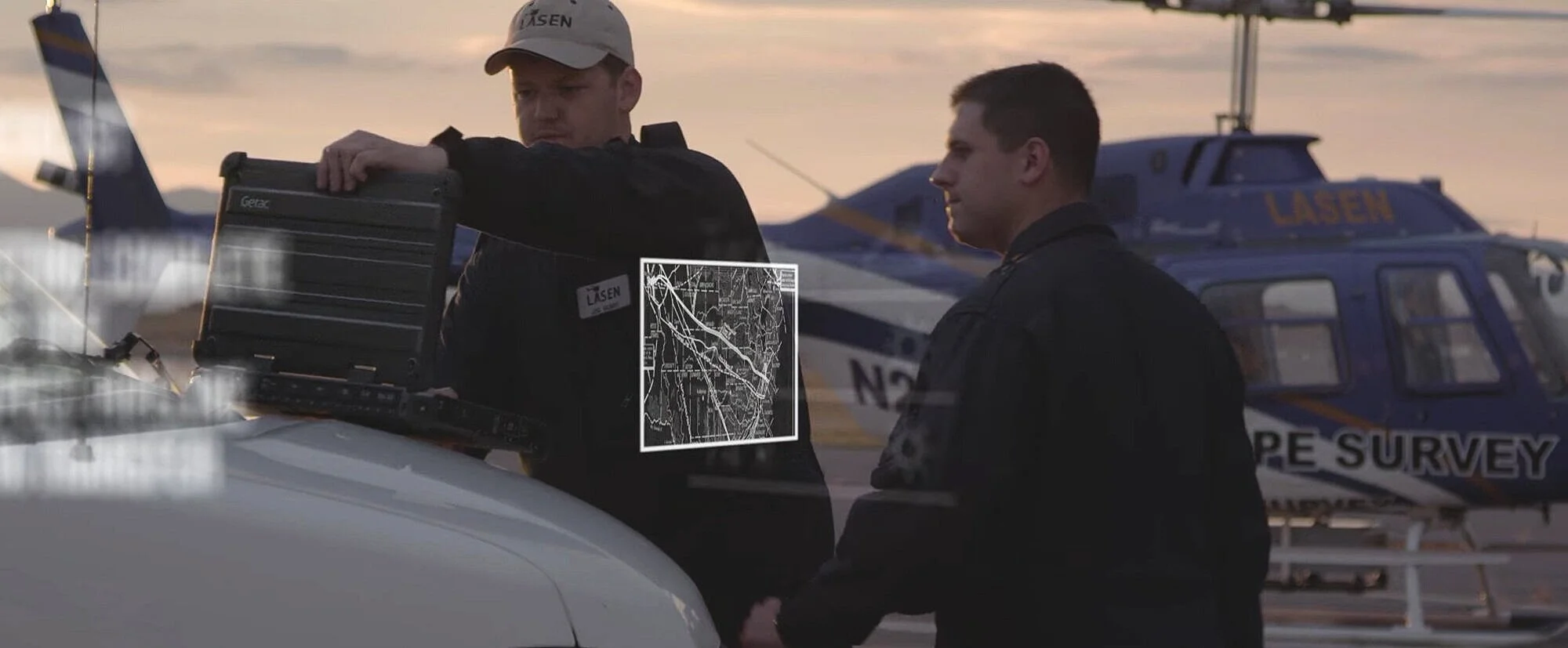
Client Portal - For On-Demand Information
Next morning access to your inspection reports
Our indication reporting system is the fastest this industry has to offer, the results are available online within 24 hours. Inspection data can be available within 1 to 2 hours of an inspection with proper notification.
Download GPS coordinates, images from the helicopter, and satellite imagery for each indication to allow for easy location of the site. GPS data points can be downloaded into industry standard GIS mapping formats.
GPS Satellite Imagery
Download Satellite Images and GPS Coordinates
Flight Imagery
Download Flight Imagery Taken by Helicopter
Detailed Reports
Export GPS data, Export Reports, Proof of Inspection Report